
Nocturnal storms could reach severe criteria in parts of Ontario south
Stay alert, southern Ontario.
A threat for thunderstorms spans parts of southern Ontario through Tuesday overnight, with the risk for large hail and strong winds on the table for some areas.
SEE ALSO: Oklahoma tornadoes kill at least one person, injure five
If you live in the risk areas, be sure to plan ahead and be weather-alert throughout the overnight Tuesday.
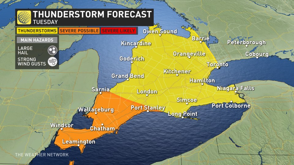
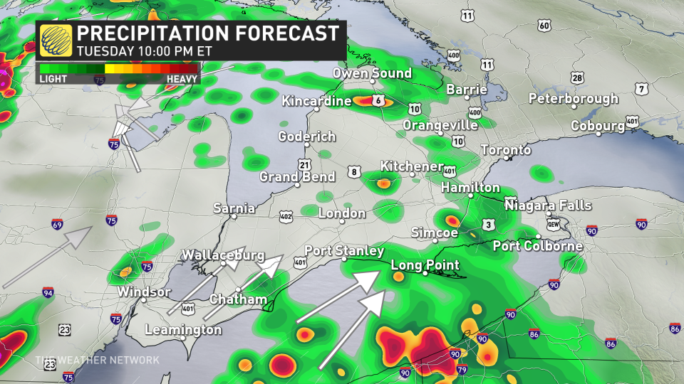
Tuesday night: Thunderstorms likely to swing through the southwest and potentially the GTA
A line of thunderstorms is expected to cross southwestern Ontario, potentially reaching the Greater Toronto Area (GTA) into the overnight.
RELATED: Why nocturnal thunderstorms can be particularly dangerous
Some storms in the southwestern section, especially near Windsor, Sarnia and Chatham, could become severe in nature with large hail and gusty winds being the primary threats.
The line of storms will diminish in the late-evening and overnight periods as it approaches London, Hamilton and the GTA, but rumbles of thunder are still possible.
Wednesday: Thunderstorm risk shifts east with severe potential
Come Wednesday, the system moves will east and offer another day of thunderstorm potential. Areas at risk include cottage country, the GTA, Ottawa and parts of southern Quebec.
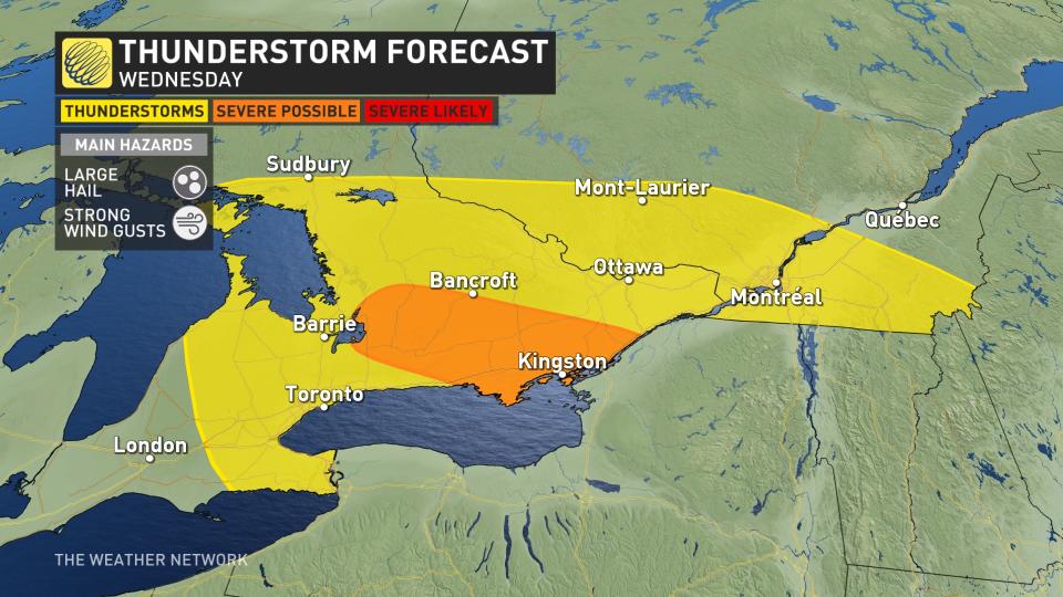
Severe storms with large hail and gusty winds as high as 70-80 km/h are possible east of Newmarket, including Peterborough and the Kingston region, during the mid-afternoon hours.
Enjoy the warm weather on Wednesday as a stretch of cooler temperatures will start Thursday and continue through the weekend.
Mother’s Day weekend will be cloudy with sunny breaks and scattered showers, but neither day will be a washout and most of the time it won’t be raining. Temperatures will be several degrees cooler than seasonal on Saturday and closer to seasonal on Sunday.
Heat-seekers will be disappointed to know that there will be no consistent warm weather expected through the May long weekend.
Stay tuned to The Weather Network for the latest forecast updates for southern Ontario.

